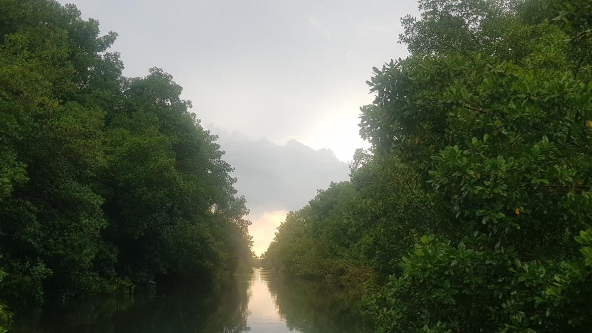
Mangrove forest loss is a significant problem in the Caribbean region. Mangroves provide essential ecosystem services, including coastal protection, carbon sequestration, biodiversity support, and nurseries for fish. However, they face numerous threats, leading to their decline. One very significant function of mangrove forests with regard to water is their function as buffers against the effects of inland flooding due to terrestrial precipitation as well as against storm surges emanating from the ocean. The Caroni Swamp in Trinidad and Tobago contains the largest mangrove forest in the twin-island tropical country and it is a major wetland that protects against these effects.
Has this problem been acknowledged in the past?
Yes, by all of the above (By the government, NGOs, etc.).
Can this challenge be solved using space technologies and data?
Yes, high resolution multispectral and hyperspectral satellite imagery integrated with high resolution Synthetic Aperture Radar (SAR) imagery.
Expected timeframe to develop a solution
6-18 months
Potential consequences if no action happens
- Increased vulnerability to hurricanes, flooding, storm surges, and coastal erosion.
- Loss of biodiversity, including fish, birds, and marine species that depend on mangroves.
- Reduced carbon storage, contributing to climate change.
- Decline in fisheries, affecting livelihoods of coastal communities.
What are additional physical requirements for a solution?
In terms of the geospatial technology and earth observation data, the only requirements that are necessary will be access to high performance computing resources and the high resolution Earth observation data identified above.
1. Coastal Development – Urban expansion, tourism infrastructure, and industrial activities have led to large-scale clearing of mangrove forests across different Caribbean territories.
2. Aquaculture and Agriculture – Conversion of mangrove areas into shrimp farms or agricultural land depletes these critical ecosystems.
3. Deforestation for Fuel and Timber – Local communities often harvest mangrove wood for charcoal production, construction, and firewood.
4. Climate Change and Sea-Level Rise – Rising sea levels and increased storm intensity contribute to mangrove erosion and dieback.
5. Pollution and Sedimentation – Oil spills, agricultural runoff, solid waste disposal and untreated sewage affect mangrove health.
6. Hydrological Alterations – Construction of roads, dams, and other infrastructure disrupts tidal flow, affecting mangrove growth and regeneration.