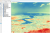
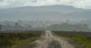
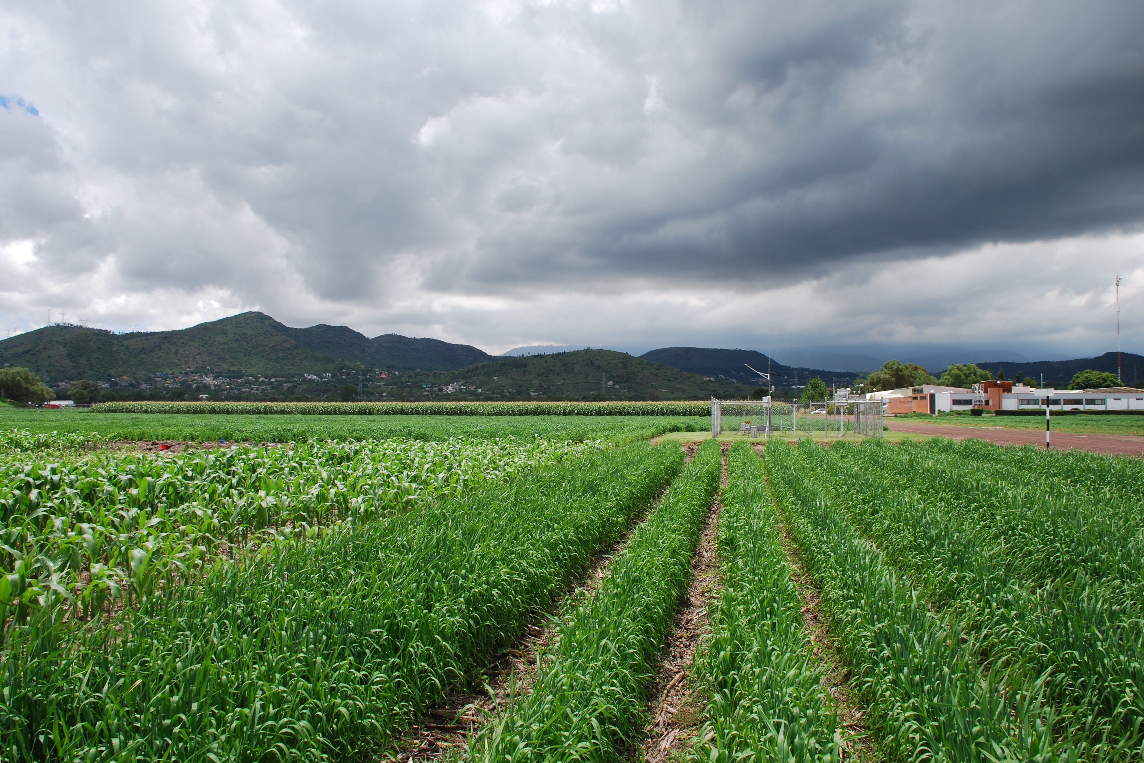
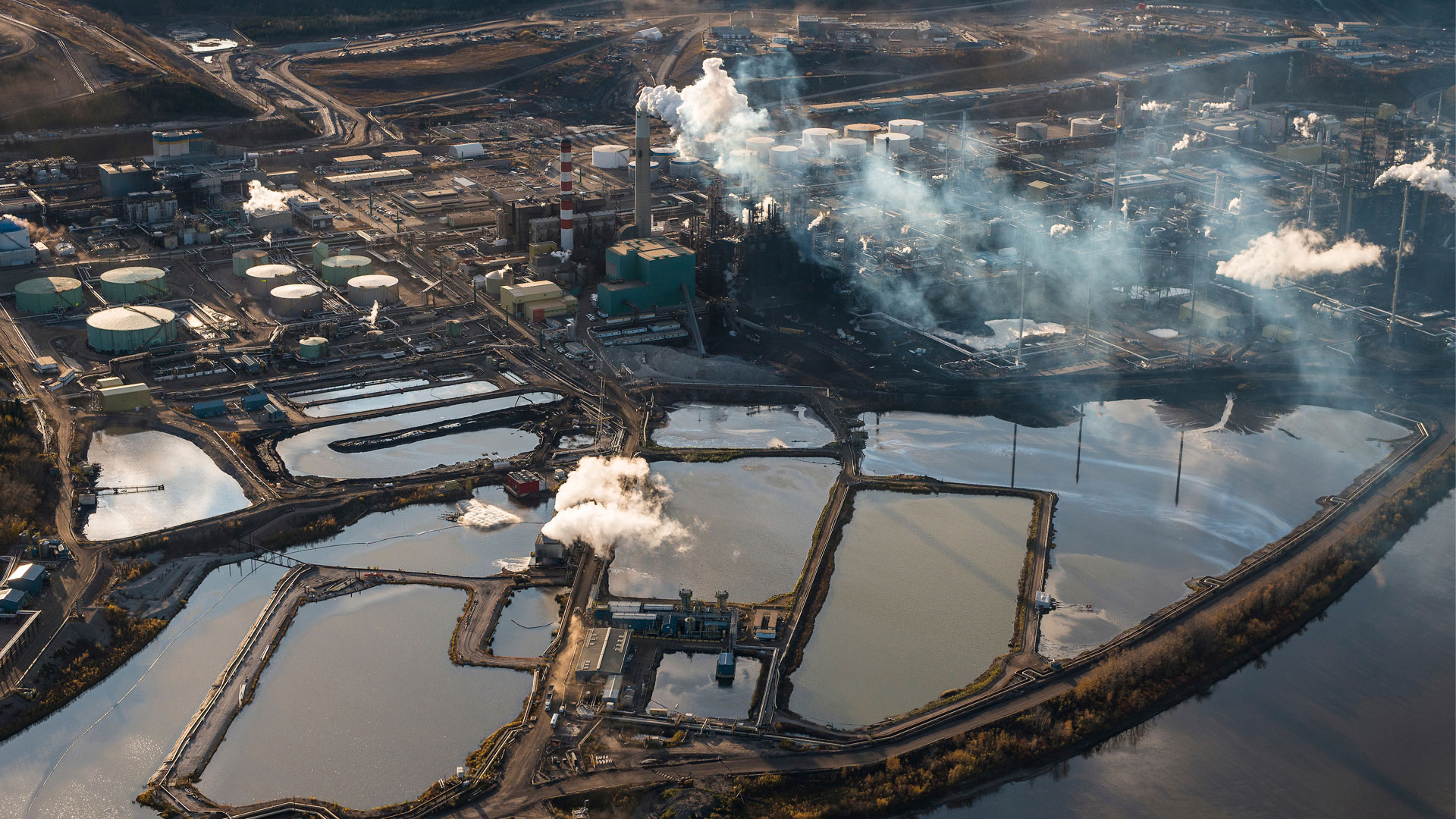
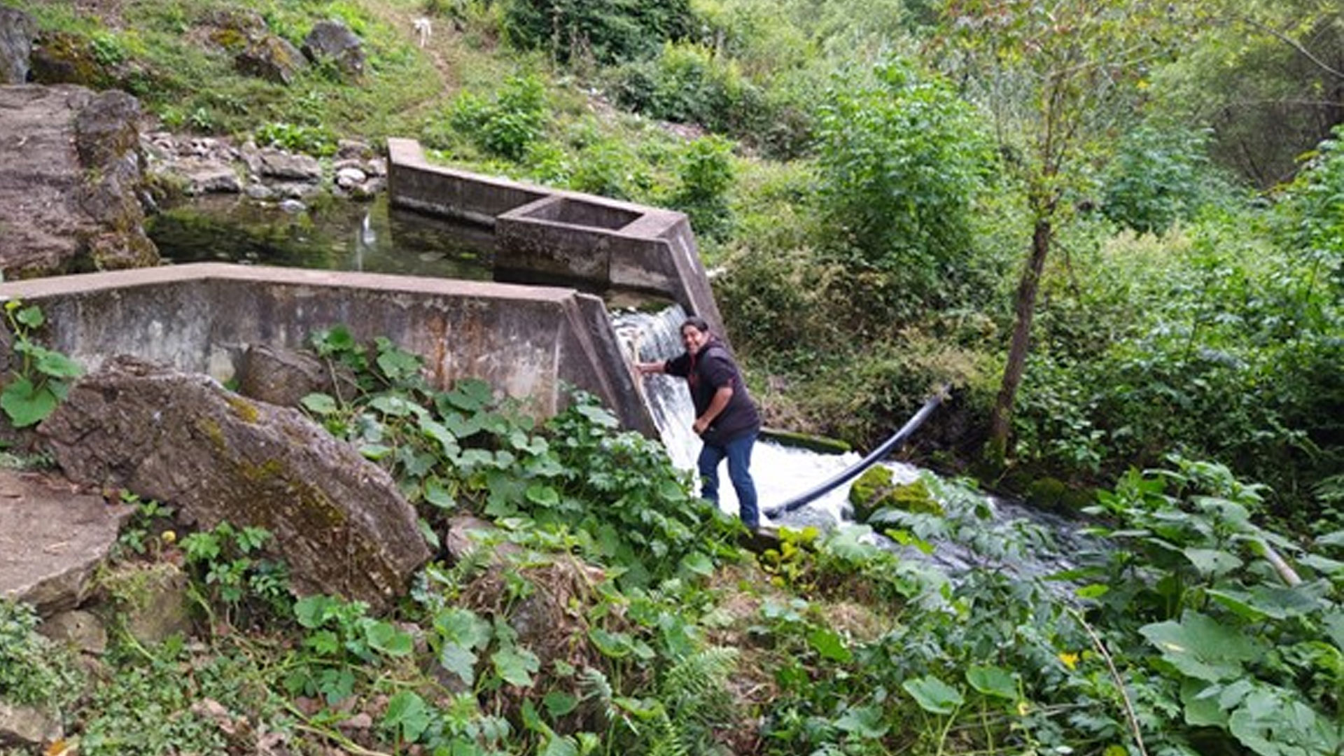
In Nepal’s Middle Hills, community-managed forests have successfully reversed deforestation, but they are now unintentionally contributing to water insecurity. Afforestation has heavily favored Pinus roxburghii, a fast-growing conifer with high year-round evapotranspiration and low infiltration capacity, significantly reducing groundwater recharge. As pine offers limited economic value, forest users increasingly shift to Sal (Shorea robusta) forests, valued for timber and compostable leaf litter. This shift concentrates human activity—such as litter collection, grazing, and trampling—around Sal patches, causing surface compaction and further reducing infiltration. Combined with unplanned road construction that disrupts natural flow paths, these disturbances have degraded upland recharge zones. Once crucial for replenishing groundwater, these uplands are now losing their recharge capacity, leading to measurable declines in groundwater storage and drying of springs in foothill and riparian zones that once flowed year-round.
The consequences are widespread and socio-ecologically severe. Rural and Indigenous communities relying on spring-fed systems for drinking water, irrigation, and livestock now face escalating dry-season scarcity. Women and elderly members of marginalized groups bear the greatest burden, while increasing outmigration to urban centers exacerbates inequality. Yet forest governance remains focused on canopy cover and carbon sequestration, often overlooking essential hydrological processes like infiltration, baseflow, and subsurface storage.
The continued decline in groundwater recharge also raises long-term concerns about shallow aquifer sustainability and overall water security. This situation is further complicated by a lack of reliable, long-term ground-based hydrometeorological data—many precipitation, temperature, and stream discharge records are missing or incomplete due to sensor failure—making it difficult to calibrate ecohydrological models and to design informed forest and water policies.
Fortunately, space-based technologies provide a powerful solution. Remote sensing allows for long-term monitoring of vegetation, precipitation, soil moisture, and terrain, revealing the drivers of spring decline. When paired with ecohydrological modeling and community knowledge, these tools can guide forest management strategies that restore groundwater recharge and help achieve SDG targets 6, 13, and 15.
Goals and milestones:
The main goal of this research is to assess and mitigate ecohydrological trade-offs in Nepal’s Middle Hills caused by unscientific forest expansion under community forestry (CF). While CF has successfully increased forest cover, it has often overlooked hydrological impacts—particularly where high water-use species like pine have been planted without considering water balance consequences. This has led to declining baseflows, reduced groundwater recharge, and increased dry-season water stress.
A key focus is to bridge the gap between Indigenous forest management practices and scientific understanding of forest-water interactions. By integrating Regional Hydro-Ecological Simulation System (RHESSys), ecohydrological modeling, satellite remote sensing, and community-level knowledge, the project aims to reveal how forest type, topography, and land use influence spring recharge zones, groundwater dynamics, and soil moisture retention.
Research has shown that nearly 70 per cent of the springs in the region are degrading, threatening long-term water security. One of the critical goals of this research is to identify vulnerable and resilient spring zones—and ultimately support the rebirth of these springs through improved forest and land-use strategies.
Short-term milestones include generating high-resolution maps of vegetation phenology, evapotranspiration, and groundwater storage (1985–2025), and validating RHESSys outputs with both field data and satellite products. In the mid-term, the study will identify groundwater-rich zones for future water-resilient settlements, simulate climate scenarios, and collaborate with local stakeholders. The long-term objective is to promote scientifically informed, community-adapted forest governance that enhances both ecological and water resilience across Nepal’s Middle Hills.


")


: NASA Earth Observatory images by Joshua Stevens and Lauren Dauphin, using Landsat data from the U.S. Geological Survey and MODIS data from LANCE/EOSDIS Rapid Response")


")


")


 by NASA")


.")


 cleansing her wooden cane. In Tamazulápam women guide the spiritual life of people in the community and teach younger generations the rituals and forms to interact with nature. Photo credits: Joselí Martínez-Vidal, Young Ëyuujk man from Tamazulápam del Espíritu Santo, Mixe, Oaxaca.")