Latin America and the Caribbean

Related Content

Article

Using space-based technologies to predict mosquito-borne disease outbreaks

Mosquitos are often cited as one of the deadliest animals in the world, causing up to one million deaths per year (WHO, 2020; CDC, 2021). They can carry and transmit a variety of diseases, including malaria, West Nile virus, dengue fever, and Zika virus; transmitting illness across the globe (Figure 1). To help decrease the burden of disease resulting from mosquitos, researchers are utilising satellite data and remote sensing models to better predict where mosquito breeding grounds may occur in the future.

Remote sensing in managing, maintaining, and understanding coral reef ecosystems

Coral reefs provide integral services to social, economic, and ecological systems. They support more than 500 million livelihoods worldwide and account for 15% of gross domestic product in more than 20 countries. A quarter of all marine species on planet Earth, representing 28 of the 35 animal phyla, can be found in coral reefs, and novel compounds derived from these organisms provide numerous useful medicinal applications.

Interview with Valdilene Silva Siqueira

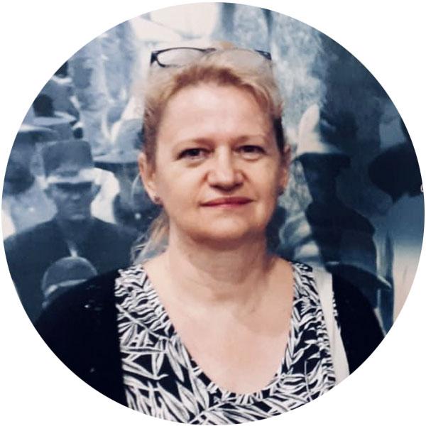
Valdilene Siqueira has a diverse background in chemistry and environmental engineering and is currently pursing a master’s degree in Sustainable Territorial Development. Her work and experience has always been closely tied to water management and sanitation. She believes that access to water and ensuring the sustainable management of water resources in a fast-paced changing world are two of the most important challenges for the coming years. Valdilene feels that achieving mutual understanding on how to manage this resource, especially in water-scarce regions, is a real challenge for decision-makers but considers that an intersectoral, integrated and participatory approach is capable of bringing stakeholders together to reconcile their different interests and build collective solutions. 

Building a Caribbean Wide Satellite Oil Spill Monitoring Program

In recent years, the Wider Caribbean Region (WCR) has faced challenges from oil spills. Despite these known risks, the WCR lacks an operational oil spill surveillance service. Oil spills, as in the case of the 2019 Brazilian incident, are often detected only after the oil has reached environmentally sensitive coastal areas, with surveillance requests sent piecemeal to government agencies in the United States and Europe. 

Interview with Valdilene Silva Siqueira

Valdilene Siqueira has a diverse background in chemistry and environmental engineering and is currently pursing a master’s degree in Sustainable Territorial Development. Her work and experience has always been closely tied to water management and sanitation. She believes that access to water and ensuring the sustainable management of water resources in a fast-paced changing world are two of the most important challenges for the coming years. Valdilene feels that achieving mutual understanding on how to manage this resource, especially in water-scarce regions, is a real challenge for decision-makers but considers that an intersectoral, integrated and participatory approach is capable of bringing stakeholders together to reconcile their different interests and build collective solutions. 

Event

Project / Mission / Initiative / Community Portal

Stakeholder

GEO AquaWatch

AquaWatch is an Initiative within the Group on Earth Observations (GEO) that aims to develop and build the global capacity and utility of Earth Observation-derived water quality data, products and information to support water resources management and decision making.

Goal

The goal of the AquaWatch Initiative is to develop and build the global capacity and utility of Earth Observation-derived water quality data, products and information to support effective monitoring, management and decision making.

Objectives

The objectives to achieve this goal are:

National Institute for Space Research

Strategic objectives

  1. Expand and consolidate skills in science, technology and innovation in the areas of space and the terrestrial environment to respond to national challenges.
  2. Develop, on a global scale, scientific and technological leadership in the areas of space and the terrestrial environment, emphasizing Brazilian specificities.
  3. Expand and consolidate skills in weather and climate forecasting and global environmental changes.
  4. Consolidate INPE's performance as a unique institution in the development of satellites and space technologies.

University of Stirling

The University of Stirling (www.stir.ac.uk) was founded by Royal Charter in 1967 as the first genuinely new university in Scotland for over 400 years and embraces its role as an innovative, intellectual and cultural institution. A research-led university with an international reputation for high-quality research directly relevant to society’s needs, Stirling aims to be at the forefront of research and learning that helps to improve lives.

The United Nations University Institute on Comparative Regional Integration Studies (UNU-CRIS)

The United Nations University Institute on Comparative Regional Integration Studies (UNU-CRIS) is a research and training institute of the United Nations University. UNU is a global network of institutes and programs engaged in research and capacity development to support the universal goals of the UN. It brings together leading scholars from around the world with a view to generate strong and innovative knowledge on how to tackle pressing global problems. UNU-CRIS focuses on the study of processes of global cooperation and regional integration and their implications.

IHE Delft Institute for Water Education

IHE Delft Institute for Water Education is the largest international graduate water education facility in the world and is based in Delft, the Netherlands. Since 1957 the Institute has provided water education and training to 23.000 professionals from over 190 countries, the vast majority from Africa, Asia and Latin America. Also, numerous research and institutional strengthening projects are carried out in partnership to strengthen capacity in the water sector worldwide.

Rural Water Supply Network

The Rural Water Supply Network (RWSN) is the global network for rural water supply professionals, with 11,000 members in more than 150 countries. RWSN is a strategic global platform for knowledge sharing and collaboration in the water sector with a central focus on the achievement of universal access to safe, affordable water supplies.

UK Space Agency - International Partnership Programme

The UK Space Agency’s International Partnership Programme (IPP) is an award-winning >£150 million space for sustainable development initiative which utilises the UK space sector’s capabilities in satellite technology and data services to deliver measurable and sustainable economic, societal and/or environmental benefits in partnership with developing countries.

International Groundwater Resources Assessment Centre

The International Groundwater Resources Assessment Centre (IGRAC) facilitates and promotes international sharing of information and knowledge required for sustainable groundwater resources development and management worldwide. Since 2003, IGRAC provides an independent content and process support, focusing particularly on trans-boundary aquifer assessment and groundwater monitoring.

Grupo de Radar de Apertura Sintética of Universidad Tecnológica Nacional Facultad Regional Haedo

The National Technological University – Haedo Regional Faculty (Castilian: Universidad Tecnológica Nacional - Facultad Regional Haedo (UTN-FRH)) is an affiliate of the National Technological University, the leading institution of its type in Argentina. Located in Haedo, a western suburb of Buenos Aires, it was established in 1967 and offers academic degrees in the following subjects: Aeronautical engineering, Electronic engineering, Industrial engineering, Mechanical engineering, Railway engineering.

UN Environment

The United Nations Environment Programme (UN Environment) is the leading global environmental authority that sets the global environmental agenda, promotes the coherent implementation of the environmental dimension of sustainable development within the United Nations system, and serves as an authoritative advocate for the global environment. Our mission is to provide leadership and encourage partnership in caring for the environment by inspiring, informing, and enabling nations and peoples to improve their quality of life without compromising that of future generations.

Person

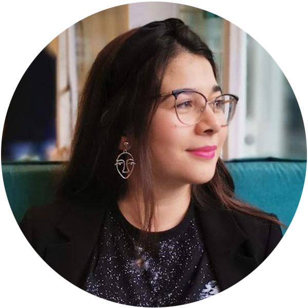
Photo of Maria Molina

María José Molina-Montero

Geographer at FAB-LAB Inter-American Institute for Cooperation on Agriculture

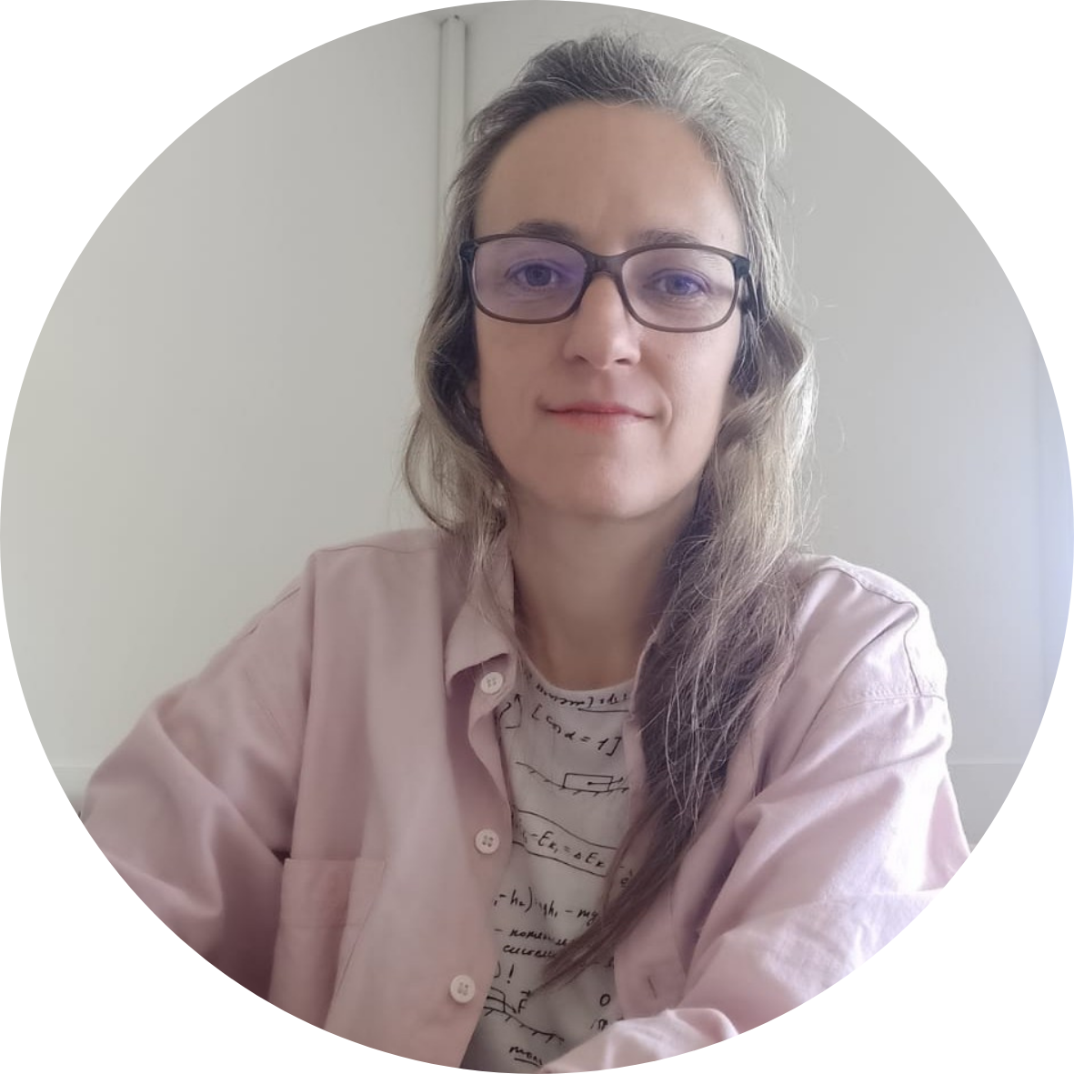
María José Molina Montero is a geographer. She holds a master's degree in Geographic Information Systems and Remote Sensing obtained in 2019, she has amassed almost 10 years of experience in the utilization and management of satellite imagery for developing a range of geospatial applications. She has served as a consultant in the public and private sectors, and for cooperation bodies such as the United Nations Development Programme (UNDP) and the Inter-American Institute for Cooperation on Agriculture (IICA), focusing on risk management, climate change, water resources, and agriculture.
picture showing the person

Ailin Sol Ortone Lois

Researcher Grupo de Radar de Apertura Sintética of Universidad Tecnológica Nacional Facultad Regional Haedo

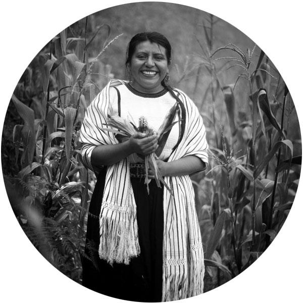
Ailin Ortone holds the director position within the Synthetic Aperture Radar research group, a role she adeptly manages alongside her responsibilities as a teacher at Universidad Tecnológica Nacional - Haedo. Her expertise extends to her role as a researcher at the Remote Sensing Centre of the Argentine National Air Force, where she actively contributes to advancing knowledge in the field. Additionally, she shares her wealth of knowledge and experience as a teacher at Universidad Nacional de Luján, nurturing the next generation of professionals in the field.

Photo of Ioana Popescu

Ioana Popescu

Associate Professor of Hydroinformatics IHE Delft Institute for Water Education

Ioana Popescu is currently Associate Professor of Hydroinformatics at IHE Delft Institute for Water Education in Delft, The Netherlands. Her research focuses on computational methods, aspects of flood modeling and vulnerability related to floods, lake and reservoir modeling and water supply systems modeling and optimisation. She is particularly interested in integrating mathematical models into decision support systems. Data is key in model development, hence she explores all sources of data, from EO to in situ data and is for the FAIR data sharing.