
River Catchment (Area)

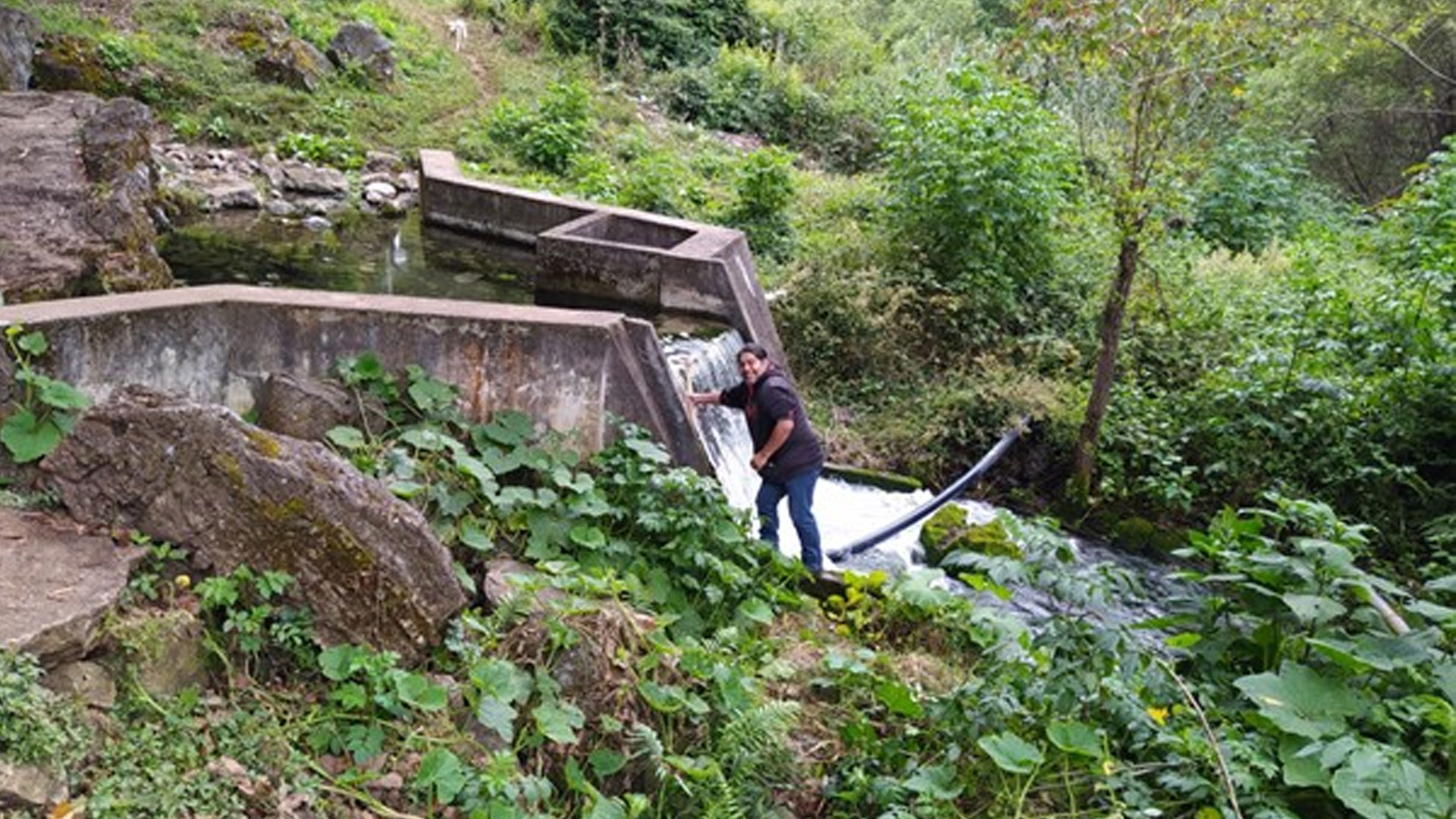
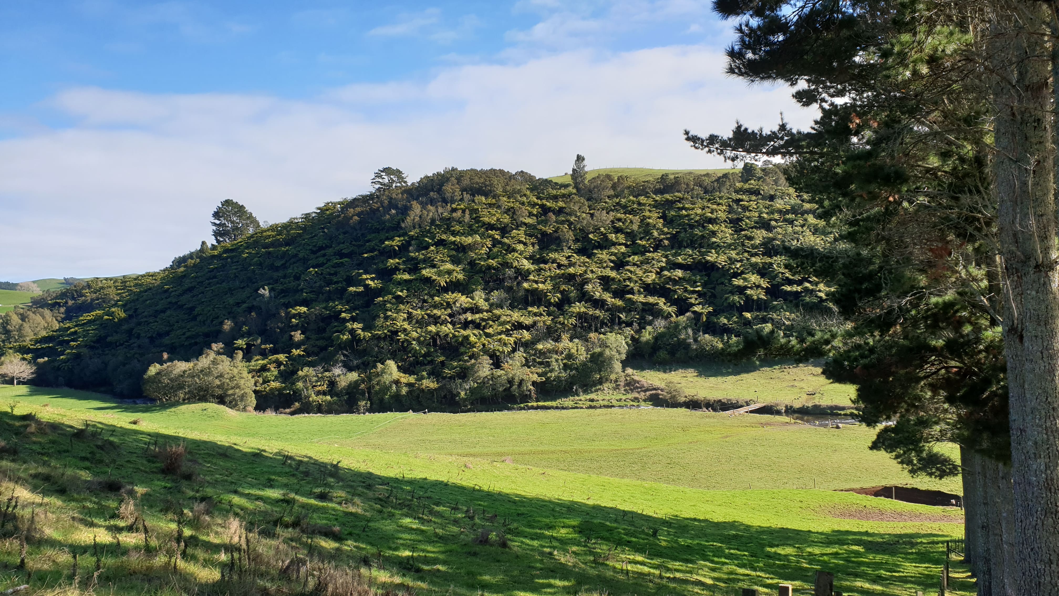
"A river catchment is an area of land where water collects when it rains, often bounded by hills. As the water flows over the landscape it finds its way into streams and down into the soil, eventually feeding the river. Some of this water stays underground and continues to slowly feed the river in times of low rainfall. Every inch of land on the Earth forms part of a catchment."
 

Sources

Georges River. n.d. “What Is a Catchment?” Accessed April 15, 2021. https://georgesriver.org.au/learn-about-the-river/what-catchment.
 

Related Content

Article

Interview with James N. Nkhoswe, Researcher at Lilongwe University of Agriculture and Natural Resources (LUANAR)

In this interview, James N. Nkhoswe reflects on a professional journey shaped by water quality, freshwater ecology, fisheries, aquaculture, and environmental management in Southern Africa. He explains how field experience in Malawi strengthened his interest in understanding water problems not as isolated measurements, but as catchment-scale challenges that connect ecosystems, food production, livelihoods and governance. Using the Bua River as a practical example, he discusses how agricultural expansion, deforestation, domestic waste disposal and changing land use can influence erosion, sediment and nutrient inputs, with consequences for aquatic ecosystems and communities that depend on the river. He highlights the value of combining field-based water-quality monitoring with satellite remote sensing, Earth observation and GIS to identify landscape change, potential pollution hotspots and areas where limited monitoring resources can be targeted more strategically. The interview also considers the Water-Energy-Food nexus, sustainable aquaculture, community participation and the institutional challenges involved in translating scientific evidence into practical water governance. Looking ahead, Nkhoswe sees strong potential in integrating satellite observations, low-cost sensors, cloud computing, field measurements and local knowledge, while stressing that technology should always respond to a clearly defined environmental problem. His advice to young professionals is to understand both the river and the technology: develop strong spatial and quantitative skills, but remain grounded in field realities, ecological processes and the perspectives of people who depend on freshwater systems.

Interview with Victor Pellet, CNES PostDoc, Paris Observatory

Describe experience relating to water and space technologies

I grew up in a country (France) where water is freely available. The drought in 2003 was considered a one-time event. I had no single lesson on climate change at school. Despite this background, I was raised aware of the links between social and environmental inequality on a global scale.

Interview with James N. Nkhoswe, Researcher at Lilongwe University of Agriculture and Natural Resources (LUANAR)

In this interview, James N. Nkhoswe reflects on a professional journey shaped by water quality, freshwater ecology, fisheries, aquaculture, and environmental management in Southern Africa. He explains how field experience in Malawi strengthened his interest in understanding water problems not as isolated measurements, but as catchment-scale challenges that connect ecosystems, food production, livelihoods and governance. Using the Bua River as a practical example, he discusses how agricultural expansion, deforestation, domestic waste disposal and changing land use can influence erosion, sediment and nutrient inputs, with consequences for aquatic ecosystems and communities that depend on the river. He highlights the value of combining field-based water-quality monitoring with satellite remote sensing, Earth observation and GIS to identify landscape change, potential pollution hotspots and areas where limited monitoring resources can be targeted more strategically. The interview also considers the Water-Energy-Food nexus, sustainable aquaculture, community participation and the institutional challenges involved in translating scientific evidence into practical water governance. Looking ahead, Nkhoswe sees strong potential in integrating satellite observations, low-cost sensors, cloud computing, field measurements and local knowledge, while stressing that technology should always respond to a clearly defined environmental problem. His advice to young professionals is to understand both the river and the technology: develop strong spatial and quantitative skills, but remain grounded in field realities, ecological processes and the perspectives of people who depend on freshwater systems.

Interview with Victor Pellet, CNES PostDoc, Paris Observatory

Describe experience relating to water and space technologies

I grew up in a country (France) where water is freely available. The drought in 2003 was considered a one-time event. I had no single lesson on climate change at school. Despite this background, I was raised aware of the links between social and environmental inequality on a global scale.

Event

Local Perspectives Case Studies

Stakeholder

Satsense Solutions Limited

Satsense Solutions Limited is a start-up company that uses satellite earth observation to develop business and governance solutions addressing the challenges of resource management, climate change and sustainable development. It has developed and deployed several applications in the Water Resources, Hydropower, Mining and Infrastructure sectors. These include assessments of eutrophication levels in lakes and reservoirs and sedimentation rates at hydropower plants. Identification of pollution in rivers, acid mine drainage and tailings at mining sites.