Brazil

Alpha 3
BRA

Related Content

Article

Using space-based technologies to predict mosquito-borne disease outbreaks

Mosquitos are often cited as one of the deadliest animals in the world, causing up to one million deaths per year (WHO, 2020; CDC, 2021). They can carry and transmit a variety of diseases, including malaria, West Nile virus, dengue fever, and Zika virus; transmitting illness across the globe (Figure 1). To help decrease the burden of disease resulting from mosquitos, researchers are utilising satellite data and remote sensing models to better predict where mosquito breeding grounds may occur in the future.

Hydro-diplomacy: The role of space-derived data in advancing water security

Water scarcity is one of the greatest threats faced by humanity of our time – in 2019, more than two billion people experience high water stress (UN-Water 2019) and approximately four billion people suffer from severe water scarcity for at least one month per year (Mekonnen and Hoekstra 2016). This worsening problem increases the risk of international conflict over water resources breaking out, given that there are over 270 transboundary river basins, and three-quarters of UN Member States share at least one river or lake basin with a neighbour (UN News 2017).

The water cycle from space: the central role of satellite-informed models in corporate water management

Water in the atmosphere, in the soil, in rivers and oceans is in continuous exchange via the global water cycle. This is commonly thought to be the circular movement of water that evaporates from the Earth's surface, rises on warm updrafts into the atmosphere, and condenses into clouds. It is transported by the wind as water vapour, and eventually falls back to the Earth’s surface as rain or snow.

Earth observation data cubes for water resources management

Data has become one of the most valuable resources of the 21st century. Indeed, data can be considered the most important input when it comes to make informed decisions. The recent global pandemic crisis highlighted the vital role of data for reporting accurate case numbers and outbreaks, identifying the most vulnerable demographics, and understanding the most effective vaccines, to mention few. Data also plays a key role when it comes to sustainability.

Interview with Dr. Ayan Santos Fleischmann, Lead, Research Group in Geospatial Analysis of the Amazonian Environment and Territory

Ayan Santos Fleischmann is a hydrologist with a particular interest in wetlands and large-scale basins, mainly in South America and Africa, and in the context of human impacts on water resources. His main study approaches involve remote sensing techniques and hydrologic-hydrodynamic modeling, as well as interdisciplinary collaborations with other disciplines such as ecology and social sciences. Currently, he is a researcher at the Mamirauá Institute for Sustainable Development (Tefé, Amazonas, Brazil), where he leads the Research Group in Geospatial Analysis of the Amazonian Environment and Territory. He also leads the Conexões Amazônicas initiative for science communication about the Amazon Basin. Ayan holds a PhD degree from UFRGS, with a collaborative period at Université Toulouse III – Paul Sabatier (France). His Ph. D. thesis focused on the hydrology of the South American wetlands. Ayan holds an Environmental Engineering degree from the Universidade Federal do Rio Grande do Sul (UFRGS), with a research stay at the University of East Anglia in the United Kingdom. In this interview, we talked to him about his career path, the work he has been developing in Brazil with wetlands and floods, and his work in the Amazon River basin.

Interview with Victor Pellet, CNES PostDoc, Paris Observatory

Describe experience relating to water and space technologies

I grew up in a country (France) where water is freely available. The drought in 2003 was considered a one-time event. I had no single lesson on climate change at school. Despite this background, I was raised aware of the links between social and environmental inequality on a global scale.

Interview with Valdilene Silva Siqueira

Valdilene Siqueira has a diverse background in chemistry and environmental engineering and is currently pursing a master’s degree in Sustainable Territorial Development. Her work and experience has always been closely tied to water management and sanitation. She believes that access to water and ensuring the sustainable management of water resources in a fast-paced changing world are two of the most important challenges for the coming years. Valdilene feels that achieving mutual understanding on how to manage this resource, especially in water-scarce regions, is a real challenge for decision-makers but considers that an intersectoral, integrated and participatory approach is capable of bringing stakeholders together to reconcile their different interests and build collective solutions. 

Capacity Building and Training Material

Event

Map

Click on any of the highlighted countries to retrieve further information.

Stakeholder

Global Water Partnership

The Global Water Partnership (GWP) is a global action network with over 3,000 Partner organisations in 179 countries. The network has 69 accredited Country Water Partnerships and 13 Regional Water Partnerships.

The network is open to all organisations involved in water resources management: developed and developing country government institutions, agencies of the United Nations, bi- and multi-lateral development banks, professional associations, research institutions, non-governmental organisations, and the private sector.

Omanos Analytics

We founded Omanos with the mission of using space data analysis to empower communities around the world, and to bring the benefits of satellite data insights to a wider audience. Much of our work has used satellite data analysis to reveal the social and environmental impacts of, e.g., mining, agriculture, and the hydrocarbon industry across four continents for range of clients – international NGOs, governments, supra-national bodies including the European Space Agency and the UK Space Agency.

National Space Science Agency

NSSA seeks to establish a sound infrastructure for the observation of outer space and the earth, make Bahrain a leader in space science and technology, build a culture and methodology of scientific research within the kingdom and encourage technical innovation, among other goals. NSSA is interested in satellites to obtain data, to use them for remote sensing and to conduct advanced space research, so it can be the engine for the state in the use of the latest satellite communication technologies.

NSSA’s main projects are as follows:

Centre for Water and Landscape Dynamics, Australian National University

The ANU Centre for Water and Landscape Dynamics (WALD) is a world leader in observation technology for real time environmental information. WALD develops new methods to measure, monitor and forecast climate, water availability and landscape conditions. Our solutions frequently combine Big Data from satellite observation and sensor networks, with field research, biophysical modelling and machine learning.

Eurac Research

The European Academy of Bozen/Bolzano (EURAC) is a private, non-profit research centre in South Tyrol (Italy), founded in 1992. Our 14 research institutes and centres with more than 400 staff are supported by a number of service departments ranging from ICT over science communication to grant and project management as well as contractual and reporting issues.

National Water and Sanitation Agency of Brazil

The National Water Agency (ANA) is legally liable for implementing the National Water Resources Management System (SINGREH), created to ensure the sustainable use of our rivers and lakes for the current and future generations. This implies regulating the use of water according to the mechanisms established by Law No.

International Institute for Applied Systems Analysis

The International Institute for Applied Systems Analysis (IIASA) is an independent, international research institute with National Member Organizations in Africa, the Americas, Asia, and Europe. Through its research programs and initiatives, the institute conducts policy-oriented research into issues that are too large or complex to be solved by a single country or academic discipline. This includes pressing concerns that affect the future of all of humanity, such as climate change, energy security, population aging, and sustainable development.

International Research Center of Big Data for Sustainable Development Goals

With the aim of addressing global challenges in the implementation of the 2030 Agenda for Sustainable Development, CBAS is committed to harnessing big data to support the Sustainable Development Goals (SDGs) by reducing technological barriers and filling in data gaps. Since its inauguration, CBAS identified key areas of interest and has made significant progress. 

Person

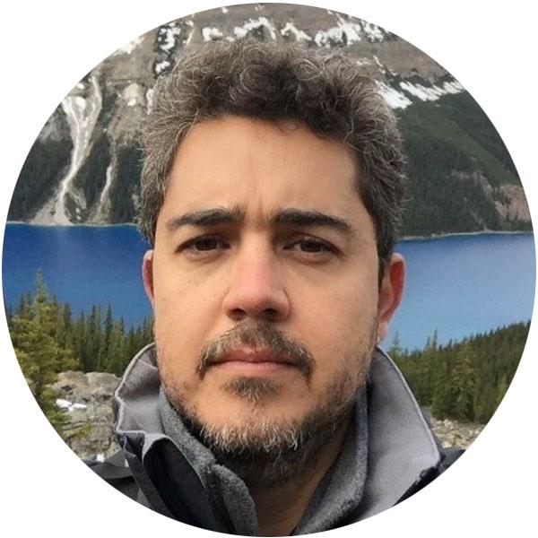
Photo of Dhalton Ventura

Dhalton L. T. Ventura

Water Resources Specialist National Water and Sanitation Agency of Brazil

Dhalton is a biologist, with a graduate certificate in environmental management and both a master’s degree and a Ph.D. in Ecology (University of Brasilia and University of Rio Grande do Norte, respectively). After working in the Amazonian Manatee Project as a research trainee and taking a course on Tropical Ecology and Conservation in Costa Rica, he joined the Brazilian National Water and Sanitation Agency (ANA) as a water resources specialist in 2006.