Land cover

"Indicates the physical land type such as forest or open water whereas land use documents how people are using the land. Land cover can be determined by analyzing satellite and aerial imagery. Land use cannot be determined from satellite imagery. Land cover maps provide information to help managers best understand the current landscape. To see change over time, land cover maps for several different years are needed. With this information, managers can evaluate past management decisions as well as gain insight into the possible effects of their current decisions before they are implemented." (National Oceanic and Atmospheric Administration, 2019)

Sources

National Oceanic and Atmospheric Administration (NOAA). What is the difference between land cover and land use? Accessed March 13, 2019. Available at: https://oceanservice.noaa.gov/facts/lclu.html

Related Content

Article

Monitoring runoff using Earth observation data

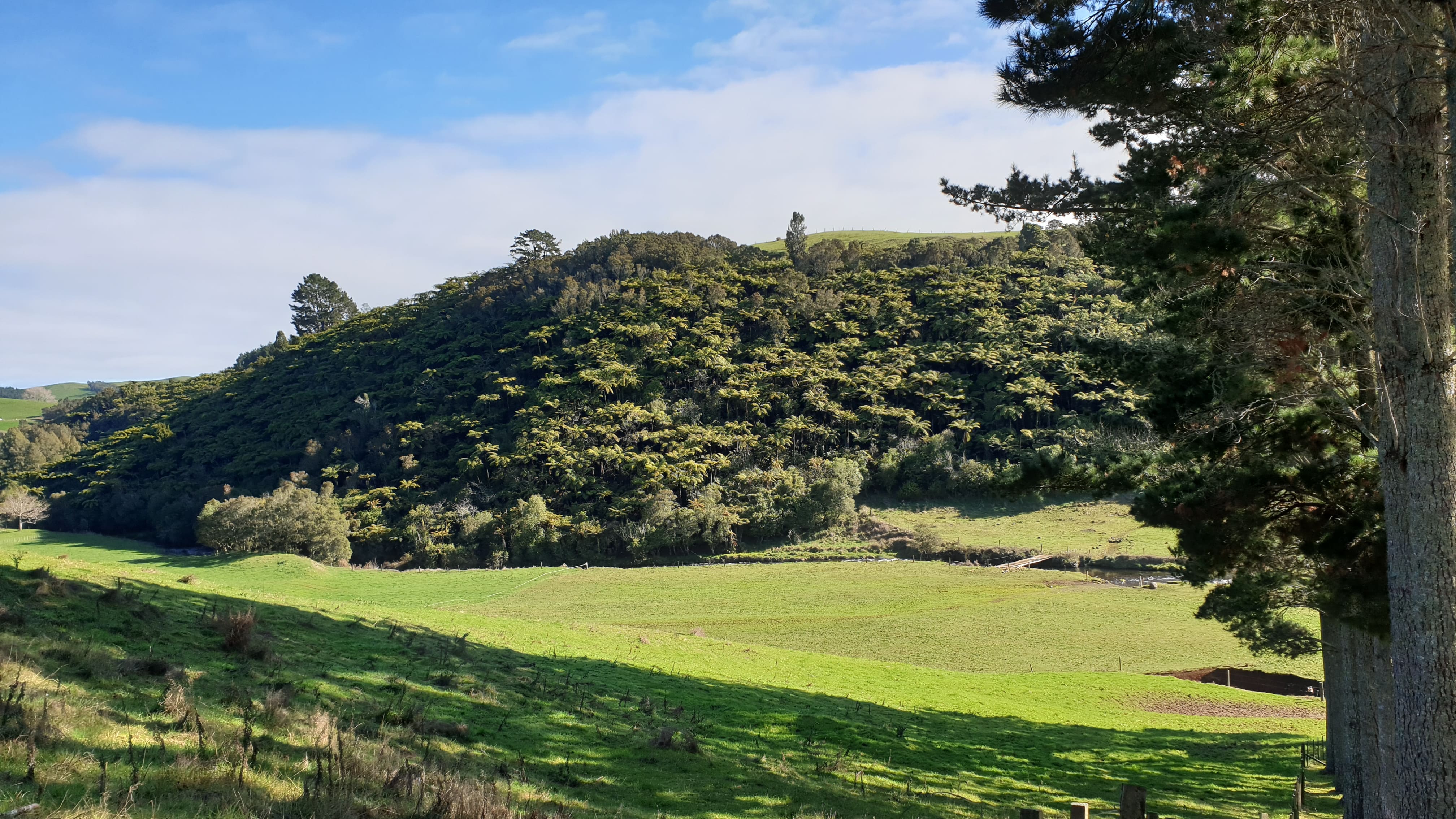
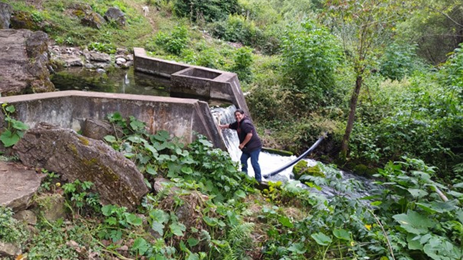
When rain falls on Earth, the water starts moving and flowing downhill through sewers and rivers as runoff. Runoff is extremely important to recharge surface water bodies and groundwater. Furthermore, runoff changes the landscape by action of erosion. It is an integral part of the water cycle (Earth Science Data Systems 2021). 

Monitoreando la escorrentía mediante datos de observación de la Tierra

Translated by Isabel Zetina

Cuando la lluvia cae sobre la Tierra, el agua empieza a moverse y a fluir cuesta abajo a través de alcantarillas y ríos en forma de escorrentía. La escorrentía es extremadamente importante para recargar las masas de agua de la superficie y las aguas subterráneas. Además, la escorrentía modifica el paisaje por acción de la erosión. Es una parte integral del ciclo del agua (Earth Science Data Systems 2021). 

Monitoring River Delta Using Remote Sensing

Since ancient times, people have established communities in river deltas because it provides water, fertile land, and transportation access, making them an ideal place to live. This pattern has been carried forward to the present. With nearly 6 billion people living in river deltas, they are one of the most densely populated places on Earth (Kuenzer and Renaud, 2011). However, they are facing threats such as climate change, sea level rise, land use changes, and ecosystem degradation.

Launch of Zimbabwe's first Satellite ZIMSAT - 1

What began as the development of a cubesat (BIRD-5) at the Kyushu Institute of Technology in Japan took off on a spacecraft to the International Space Station from the Mid-Atlantic Regional Spaceport at the National Aeronautics and Space Administration's (NASA's) Wallops Flight Facility in Virginia, US on 6 November 2022 (watch the video of the launch of the CRS2 NG-18 (Cygnus) Mission (Antares), in the video below the article).

Event

Local Perspectives Case Studies

Stakeholder

Remote Sensing, GIS and Climatic Research Lab, University of the Punjab

The emerging demand of GIS and Space Applications for Climate Change studies for the socio-economic development of Pakistan along with Government of Pakistan Vision 2025, Space Vision 2047 of National Space Agency of Pakistan, and achievement of UN Sustainable Development Goals (SDGs) impelled the Higher Education Commission of Pakistan (HEC) to establish Remote Sensing, GIS and Climatic Research Lab (RSGCRL) at University of the Punjab, Lahore, Pakistan.

Space and Upper Atmosphere Research Commission

Realizing the importance of Space Science and Technology applications for sustainable national development, the Government of Pakistan established Pakistan Space and Upper Atmosphere Research Commission. Being the National Space Agency of Pakistan, SUPARCO is mandated to conduct research and development work in the field of space science, technology and its applications for peaceful purposes and socio-economic uplift of country. Its headquarter is located at Islamabad and technical facilities are spread over Karachi, Lahore, Multan, Quetta, Peshawar and Gilgit.

Person

Photo of Jiayun Huang

Jiayun Huang

Intern United Nations Office for Outer Space Affairs

Jiayun Huang was a master student at Imperial College London, specializing in ecological applications. She holds a bachelor's degree in Environmental Science. Her research includes a wide range of topics related to environmental monitoring, evaluation, and management using remote sensing technology. She has undergone professional training in field investigations and laboratory operations, and is able to integrate them with remote sensing technology in the research projects.

Software/Tool/(Web-)App

LandMonitoring.Earth

At the occasion of the ‘European Land Monitoring at its crossroads’ conference held in Innsbruck, Austria, in October 2018, GeoVille has released an update of the LandMonitoring.Earth public portal.

Earth Observation Data Analysis Library

Imagery from Earth observing (EO) satellites combined with environmental data about climate, topography and soils holds great potential to advance our knowledge about the dynamics of our planet. Still, the handling and analysis of these data sources is cumbersome and presents a high barrier to entry leaving the potential of EO data underexploited.